About 20,180 kilometers above of the sea level, theres a network of satellites, each orbiting earth every 11 hours 58 minutes.
These satellites continuously sending data down to us on earth.
Which intern is received by devices such as your phone or navigational units in tour cars, allowing you to see where you are on planet.
There are a lot of misconceptions about how GPS is actually work.
For an example being that your phone and the GPS satellites are both talking to each other.
So let’s learn about how do GPS is work with drones and others.
GPS stands for “Global Positioning System” which works through trilateration, not triangulation or multilateration, which is commonly misconceived.
There are many different types of navigational satellite systems from countries across the world.
But the most popular and commonly used system is Navstar, which is the USA system.
There are however Russian, Indian, Chinese and European equivalent systems.
Although the Indian and Chinese systems sit in a geosynchronous orbit above their countries which means they aren’t worldwide systems.
The Navstar system, which is simply referred to as GPS, is what we will be focusing more on – although most drones and devices tend to have the capabilities to use this GPS.
GPS satellites are setup in such a way that from almost anywhere on the surface of Earth. You should have a direct line of sight of at least four GPS satelities.
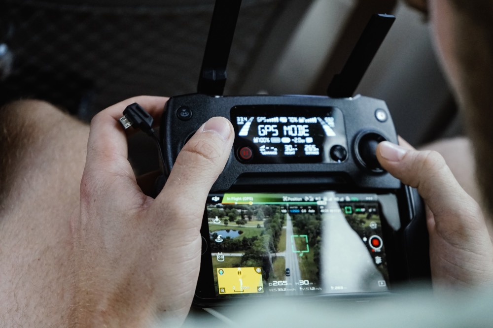
How GPS Works?
This is quite important on the basis that GPS point positioning drones requires at least four satellites to calculate three position coordinates and the clock deviation.
As GPS unites are receivers, there needs to be something sending some sort of signal to devices such as your drone to receive.
Each GPS satellite broadcasts a navigational message towards Earth which contains an extremely accurate timestamp.
The satellites also broadcast their position at the time of broadcast.
So, all GPS signals broadcasting 1.5X GHz (L1 signal) and 1.2X (L2 signal).
These two bits of information allow you to begin to work out your drones’s position on Earth.
Satellites all sending exceptionally accurate time down to Earth.
Drone GPS receiver can compare the difference of time between the signal being sent and received to work out the distance between you and the satellite.
By multiplying this time difference with the speed of light (as the signal is sent as the speed of light).
With that you can get the distance you are from the satellite.
As the satellites are also sending whereabouts they are, you can begin to draw spheres around the satellites, with you being somewhere on the outside border of the sphere.
As we introduce more GPS satellites into the mix we begin to get closer to where we are.
Global Positioning System Technology
By calculating the time differences between these satellites we move from having no idea where we are.
To being able to pinpoint where we are, typically down to five to ten minutes on average, with the potential error being around 15 meters.
There are a lot of factors which escalate the potential error.
But the most significant is due to the ionosphere, a part of the upper atmosphere extending from 60 km to 2,000 km.
Where free elections occur frequently enough to have an appreciable influence on the proportion of electromagnetic waves passing through this layer.
This error is substantially smaller when satellites are directly overhead, compared to being larger.
The closer satellites are to the horizon relative to your drone as the path.
Between drone and the GPS satellites goes through more of the atmosphere compared to being directly overhead.
Even things such as small variations in the atomic clocks found on board these satellites can case major errors.
Conclusion
GPS stands for “Global Positioning System” and this system uses at least four satellites to calculate three position coordinates.
Also there are more Mathematical combinations when detecting correct position. I hope you got the better knowledge about GPS Technology and How it work with our drones and devices.
Thanks for reading. Peace.