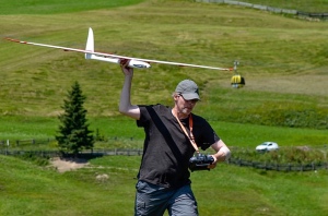
Drones are super popular device of the 21st century.
So, Drones or UAVs now used for a wide range of applications, includes Aerial mapping.
The revolutionary rise in drone usage has led to the develop new advanced drones.
So most major RTF (ready to fly) Drone manufactures are trying to make best drones for mapping.
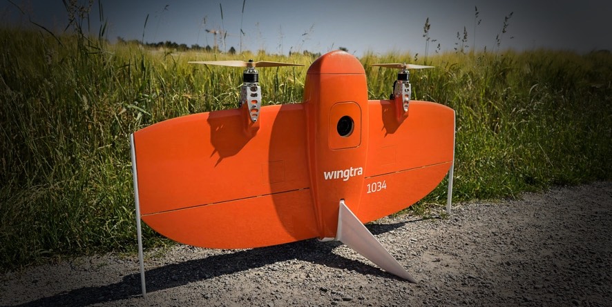
So today I brought you details about The WingtraOne Aerial mapping Drone.
Without any doubt WingtraOne is the safest and most accurate A vertical take-off and landing (VTOL) drone for mapping and surveying.
WingtraOne comes with (VTOL) vertical takeoff and landing system with long -range flying capability.
The vertical landing system allow you to operate the WingtraOne everywhere, even in very small spaces and on un level grounds.
By using this highly efficient and durable drone, you can achieve your large aerial mapping goal really easily.
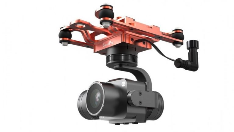
WingtraOne also have super quality and advanced camera.
This camera can be swapped in no time on the field.
Quality
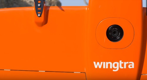
This Drone equipped with 42mp full – frame camera with an ultra low distortion lens.
So that allows the unprecedented combination of image resolution and flight coverage.
WingtraOne sets the new benchmark for surveying great accuracy.
Also this eliminating ground control points from your workflow by activating the state-of-the-art PPK (Post-Processed Kinematic).
Surveyors obtain a centimeter accuracy and superior reconstruction results.
Simplicity and Features
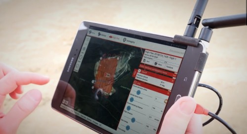
Wingtra is already developed a superb mission planing and flight monitoring system and allows you to simulate this aerial mapping drone very simply.
Also these Great features make planning easy and ensure mission success.
Safety
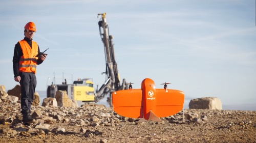
Wingtra Drone increases operation safety.
With using a only one push button, this aerial mapping drone can take off and landing 100% autonomously .
Its not harmful to pilot, cuz when it flies it keeps safe distance from operator.
After mapping the survey, wingtraone drone safely lands to the ground with no hands.
So you don’t need to worry about your drone landing at all.
Conclusion
The WingtraOne aerial mapping drone is the trusted VTOL Drone system that recommend by most of geospatial professionals around the world
Finally, It is designed to be integrated in every workflow. Thanks guys reading my review.Peace.